Imaging science at El Leoncito, Argentina
12
0
0
Texte intégral
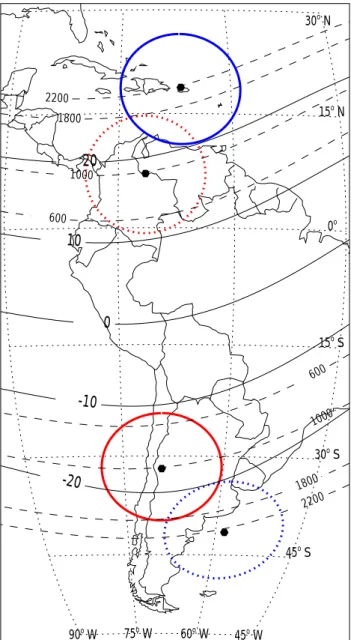
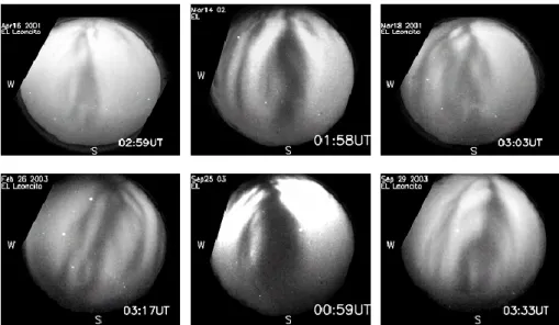
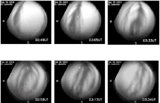
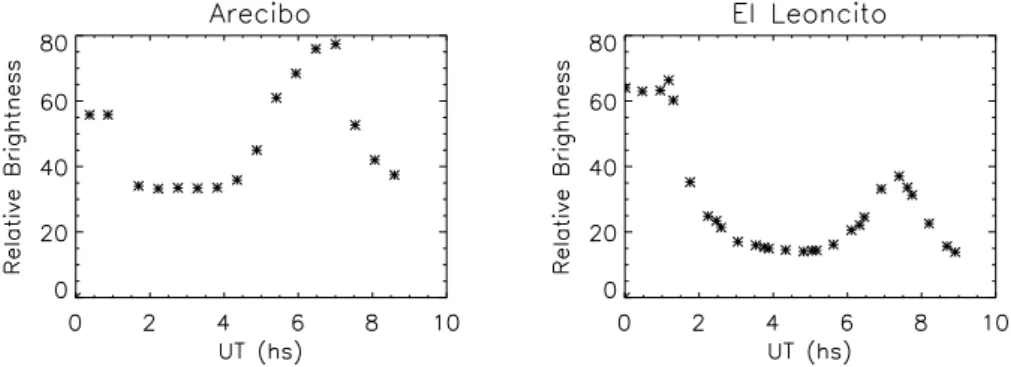
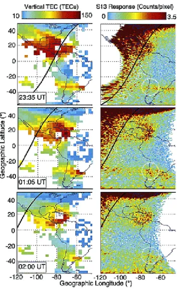
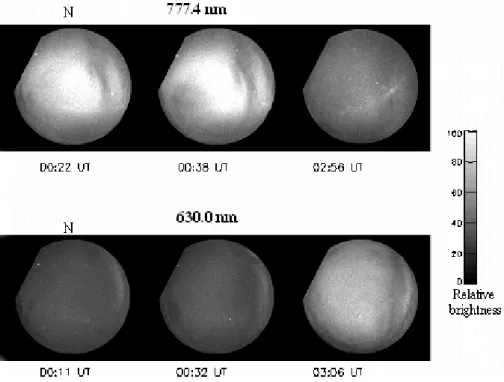
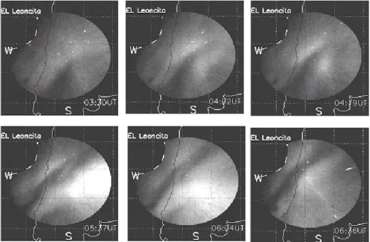
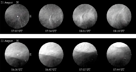
Figure
+5
Documents relatifs
