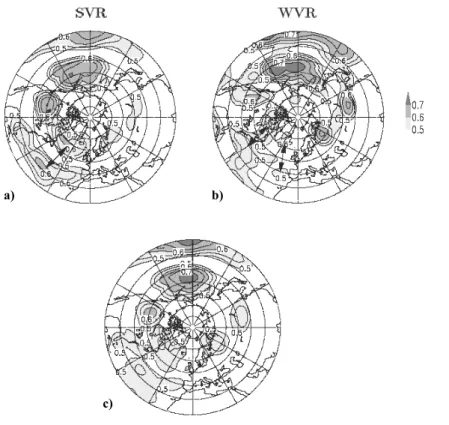
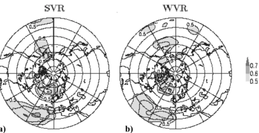
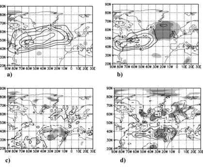
The North Atlantic variability structure, storm tracks, and precipitation depending on the polar vortex strength
23
0
0
Texte intégral
Figure

Documents relatifs
