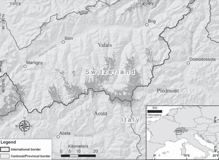
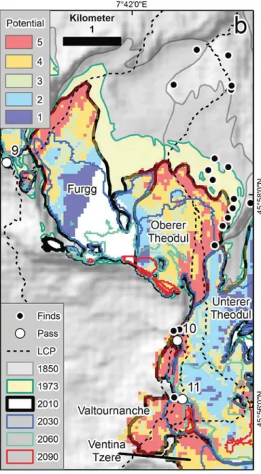
Combining glaciological and archaeological methods for gauging glacial archaeological potential
11
0
0
Texte intégral
Figure
Documents relatifs
