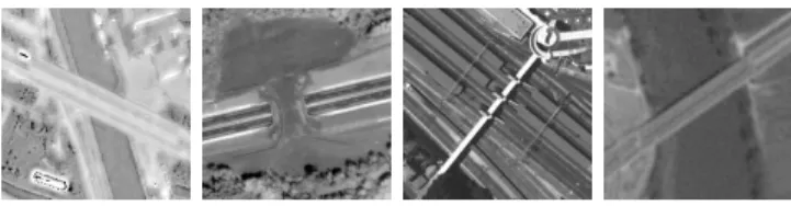
Using textural and geometric information for an automatic bridge detection system
7
0
0
Texte intégral
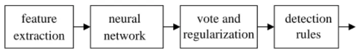
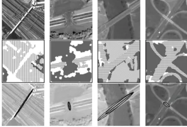
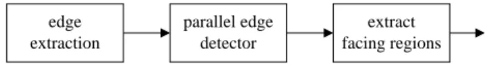
Figure
+3
Documents relatifs
