Aeromagnetic patterns in Southern Uruguay: Precambrian-Mesozoic dyke swarms and Mesozoic rifting structural and tectonic evolution
19
0
0
Texte intégral
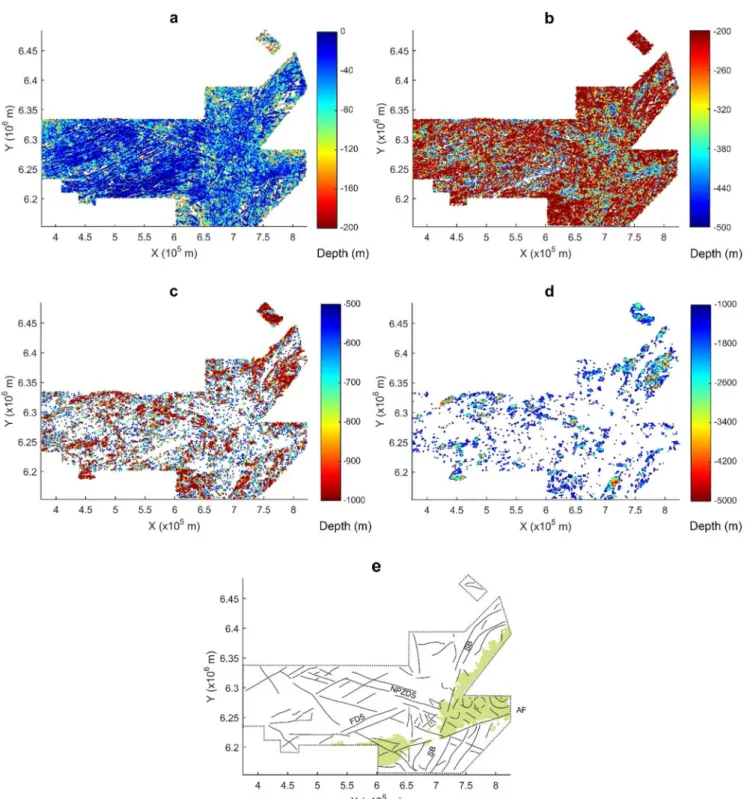
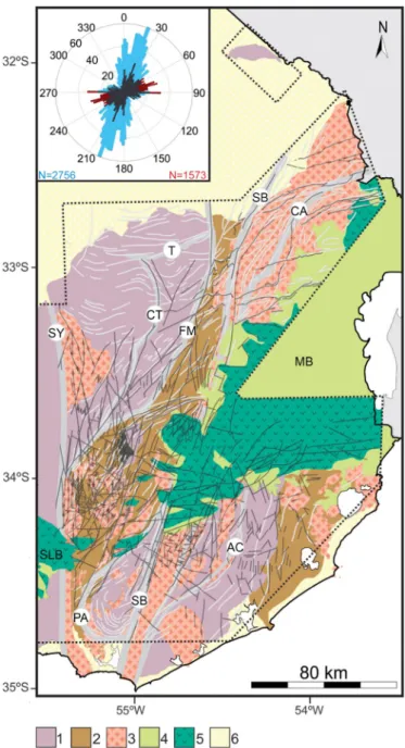
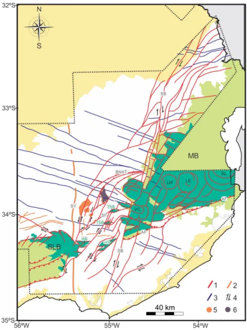
Figure

Documents relatifs