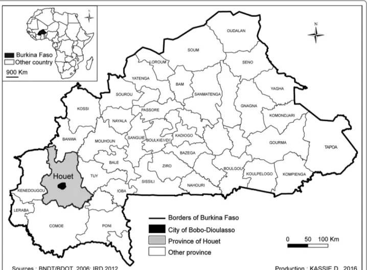
Development of a spatial sampling protocol using GIS to measure health disparities in Bobo-Dioulasso, Burkina Faso, a medium-sized African city
Texte intégral
Figure
Documents relatifs
For the characterization of the hydrological regime (annual, monthly and daily time step), the variable time step stream flow data were first interpolated to a 30 (respectively
For the characterization of the hydrological regime (annual, monthly and daily time step), the variable time step stream flow data were first interpolated to a 30 (respectively
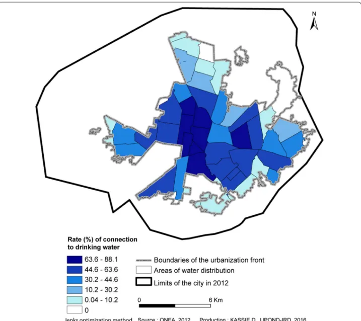
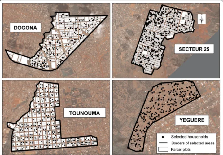
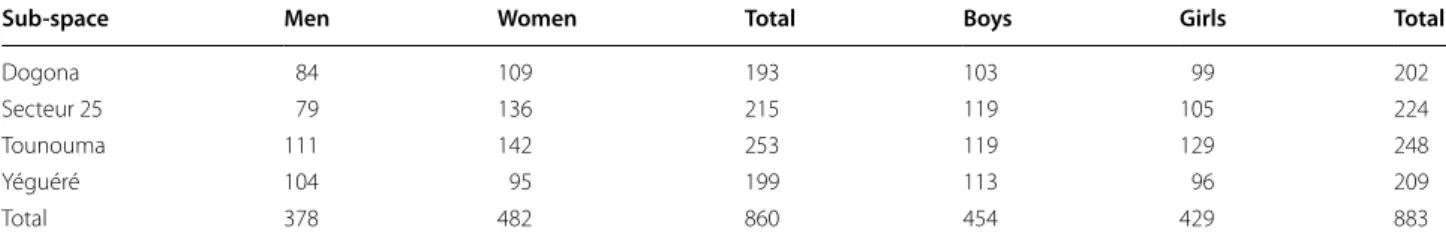
Methods: This article describes the methodology used to develop a multi‑stage sampling protocol to select a population for a demographic survey that investigates health disparities
Factors associated with flavivirus infection were identified among the enrolled children (age, sex), householders (educational level, asset index) and in the environment
Urban agriculture is a phenomenon worldwide and invites us to overcome the frontiers that traditionally separate urban and agricultural studies. This paper seeks to emphasize
We will first present the main results for one example (plot 12; figure 4), and after we will present the main spatial characteristics oak-pine mixed stands studied,
We used the cartography of 25 1ha plots in Orléans forest (1) to analyse the spatial structure (2) and to build a typology of Sessile oak-Scots pine mixed stands. This
Determination of the Critical Self-Heating Temperature by Isothermal Storage Tests This method consists of the determination of the critical self-heating temperature of a
