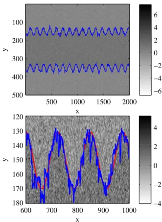
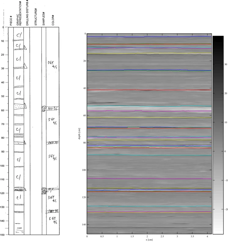
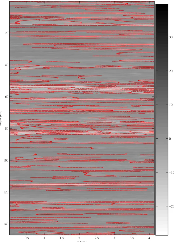
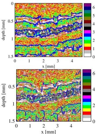
An algorithm for detecting layer boundaries in sediments
10
0
0
Texte intégral
Figure

+3
Documents relatifs