From open geographical data to tangible maps: improving the accessibility of maps for visually impaired people
Texte intégral
Figure
Documents relatifs
When growing a decision tree, accuracy is not measured directly as often adding a single test does not improve it at all; tests on multiple attributes are needed.. We need a
TrettinandDoshi(1981)concludedthatpressureindependentfiltra- tion was gel layer controlled. These authors ignored the existence
Suphanit, 2010, Design of internally heat-integrated distillation column (HIDiC): Uniform heat transfer area versus uniform heat distribution,
ϭ͘ EŽŵĞŶĐůĂƚƵƌĞ Ƶ ƐĞŝŶ ĚƵ ŐĞŶƌĞ ^ƚĂƉŚLJůŽĐŽĐĐƵƐ͕ ^ƚĂƉŚLJůŽĐŽĐĐƵƐ ĂƵƌĞƵƐ ĞƐƚ ƐĂŶƐ ŶƵů ĚŽƵƚĞ ů͛ĞƐƉğĐĞ ůĂ ƉůƵƐ ĠƚƵĚŝĠĞ͘ ůůĞ ƉƌĠƐĞŶƚĞ ůĂ
La lecture du projet spatial au cœur du dispositif de trois plans stratégiques (le Plan régional d’aménagement du territoire wallon – P.R.A.T.W., la deuxième Esquisse de
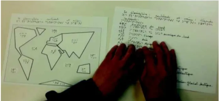
IV.3.2 Short-term Study: Comparison of the Usability of Different Map Types In the short-term study we made the assumptions that: 1/ exploration duration corresponding to the
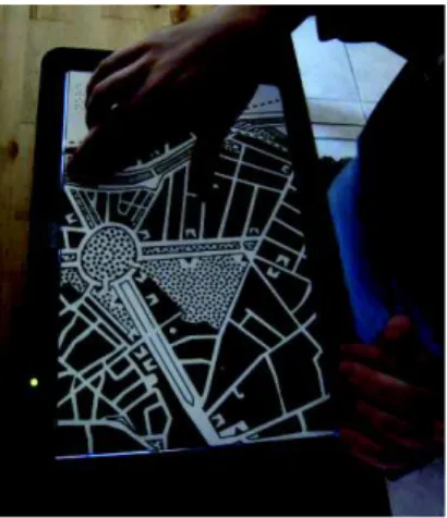
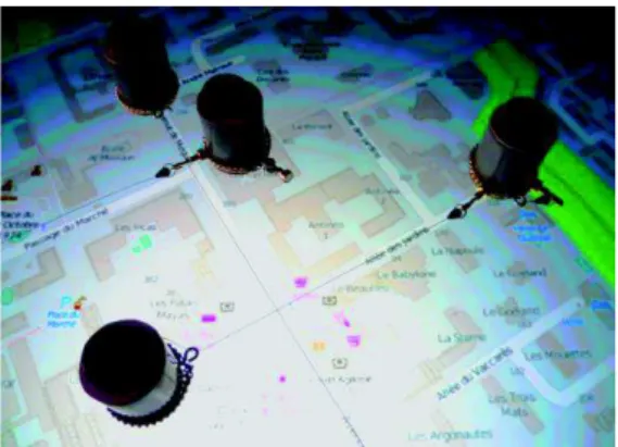
The interactive map prototype was composed of a raised-line map overlay placed over a multi- touch screen (see Figure 3), a computer connected to the screen and loudspeakers
