Optimal Transport for Data Fusion in Remote Sensing
Texte intégral
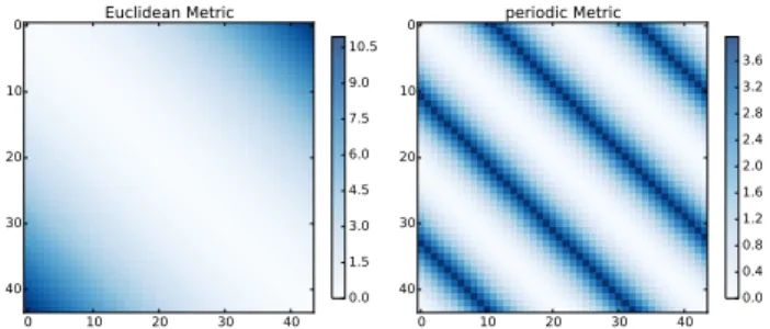
Figure
Documents relatifs
Technical skills / ancillary data Image level Surface parameters to quantify Spectral band.. Aerial remote sensing (1/5)
It is suggested that current satellite technology can fulfill the spatial mapping needs of disease transmission and risk modelling, but that temporal resolution, which is a function
- The second one, the Equipex GEOSUD, funded under the “Investments for the Future” Programme (2011- 2019), focuses on satellite imagery acquisition, the development of
Also, as mentioned above, the data derived using remote sensing method also depends on the penetration level of microwave spectrum, the ice type, snow cover or atmospheric
The hybrid SOM algorithm and k-means are compared in terms of cluster separation and MZ formation based on data fusion of Normalized Difference Vegetation Index
Sequential floating forward selection is the one of the sequential variants that competes and sometime outperforms the genetic optimization of features [7], [3]. Fisher’s linear
A new definition of the data fusion is proposed, which allows to set up a conceptual approach to the fusion of Earth observation data by putting an emphasis on the
A multispectral image thus includes several pictures, each one corresponding to a satellite band (Figure A multispectral SPOT image, for example, consists of
